Maps


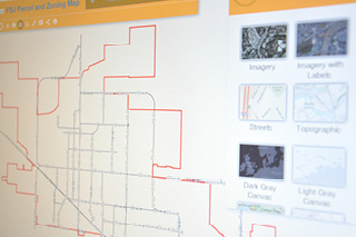
The City of Fort St. John maintains a Geographic Information System (GIS), which is a management system designed to capture, store, analyze and display spatial data. GIS integrates common database operations such as query and statistical analysis with the visualization and geographic analysis benefits of maps.
Almost every service in the City of Fort St. John uses GIS, including sewer, water, road projects, planning, emergency planning, dispatch, economic development, and even bylaw enforcement.